It’s funny how the two things you mentioned are related to a particular quagmire of mine which was that my baby son misplaced my phone inside our place in Korea. I had absolutely zero way of finding it. I didn’t want to buy a shutter-compromised phone so I just waited a month to buy a phone in the US.
It’s just absolutely bizarre that, in this modern age, an iPhone briefly going out of sight means losing it forever. (I think he threw the phone away, as he started to enjoy putting things in the trash can.)
It's like the whole ActiveX debacle. I just don't understand what's in lawmakers' heads.
Looks like it's mandated just to play a ping-pong game of "who is the culprit of this data leak" that usually concludes into user's improper installation of "Security Software".
It does not. This is a carrier requirement, not the law. That's why you can evade it so easily.
This seems to be incorrect, it appears to be a network policy from the carriers not binding legislation. More info on it can be found here: https://review.lineageos.org/c/LineageOS/android_frameworks_...
It would not surprise me if "Find My iPhone" would have to be completely and totally rebuilt from the ground up in SK and run on SK infrastructure in order for it to not be considered exporting of survey data.
Every map of South Korea must be served from... South Korea up until a certain point. You can see this if you open up Google Maps and zoom in.
There's a special version of OSM that has military bases conveniently ignored for the purpose of in-country usage: https://tiles.osm.kr/
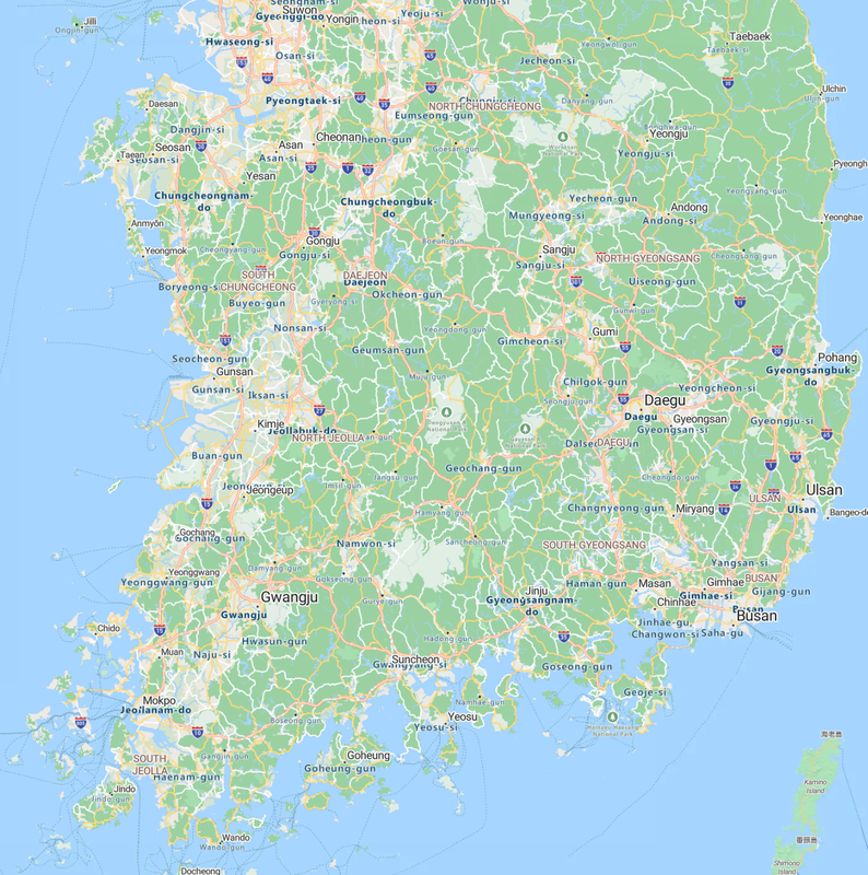
Here, South Korea is only visible as a series of indiscernible land shapes -- North Korea has more detail: https://www.google.com/maps/@35.7704632,128.4760504,6.94z?en...
Zoom in one level and if you're on a particularly bad internet connection, South Korea will slowly chug its way into existence: https://www.google.com/maps/@35.7701121,128.6819944,7.94z?en...
Bing's view of South Korea is even weirder, since they don't use vector graphics for that part of the world. You can see where the labels will overlap, with English labels being covered by English vector labels: https://www.bing.com/maps?cp=35.883894%7E127.933616&lvl=9.0 ( https://i.postimg.cc/SRnZfgHC/image.png )
At some zoom levels in Bing Maps, you can see they're using a VERY old render, sometimes old enough that destroyed buildings are still visible or routes that no longer exist are still there. It uses American-style highway signs and with a high resolution screen such as a modern 4K panel you can easily see where the bitmap graphics that have been hauled over are falling apart.