Re:Where do Github users live? WebGL visualization
by dpcx on Monday September 30, 2013 @03:19PM
(#6471663)
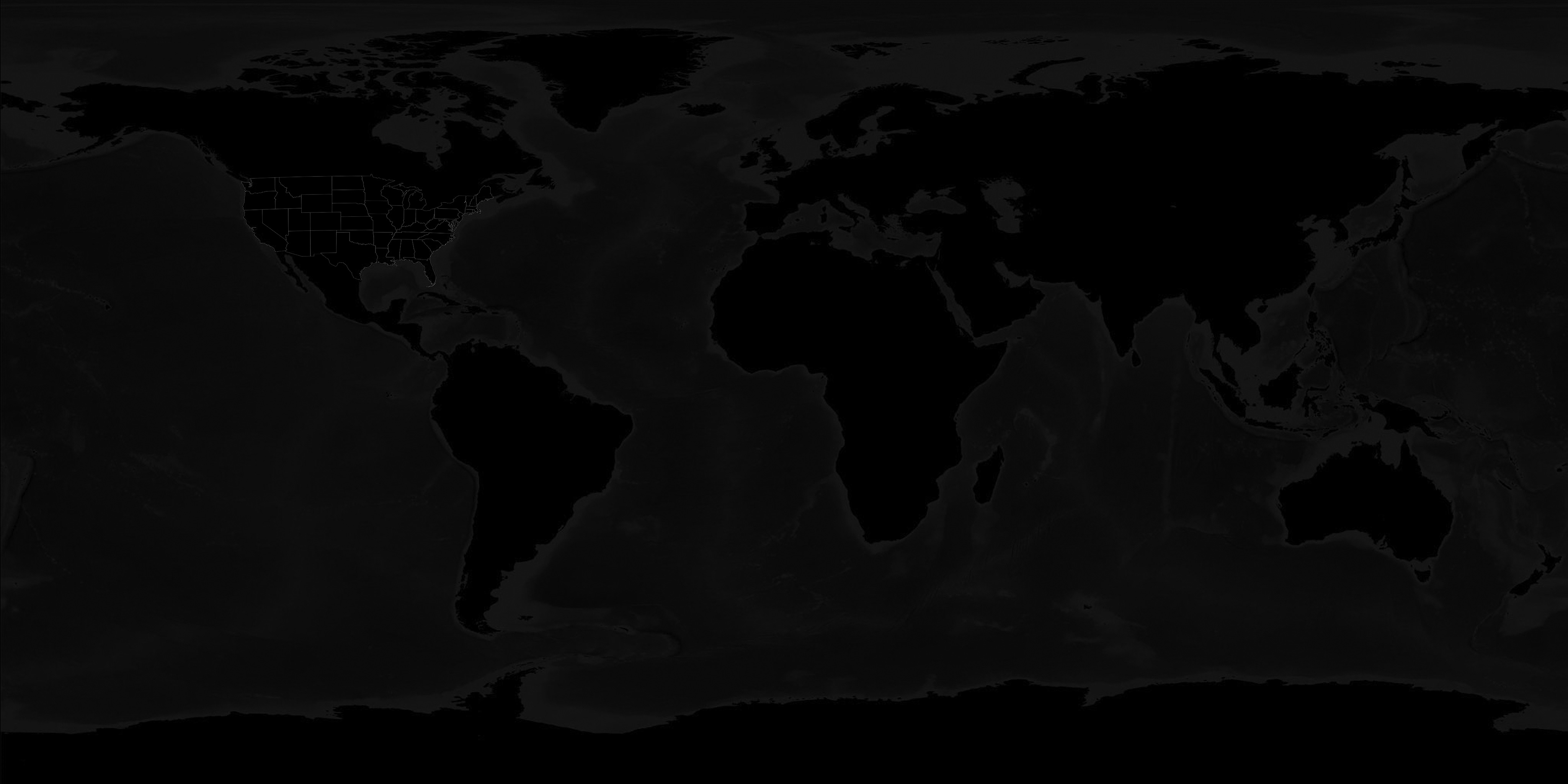
How'd you get the state borders? That's exactly what I need.
[ Parent
| on HN ]
Re:Where do Github users live? WebGL visualization
by JonnieCache on Monday September 30, 2013 @05:30PM
(#6472507)
http://www.gadm.org/
That has the administrative boundaries for every country.
The relevant project from the US government itself is here: https://www.census.gov/geo/maps-data/data/tiger.html
You might want to run a simplifying algorithm on the shapes first though, they're the official boundary coordinates so there's an absurd number of points on coastlines and the like, making point-in-polygon lookups very slow.
It has the stuff for doing your own geocoding as well. You can install it as a postgis extension and run geocoding SQL queries in postgres. It's an absolute joy.
Re:Where do Github users live? WebGL visualization
by TomatoTomato on Monday September 30, 2013 @03:24PM
(#6471703)
Probably an easier solution, but I edited globe.js in the JS Console to use one with the state borders[1] that I found found used on another globe