Re:The smallest 256x256 single-color PNG file, and where you...
by tppiotrowski on Friday April 22, 2022 @04:08PM
(#31127372)
I hacked up a quick script and converted https://s3.amazonaws.com/elevation-tiles-prod/terrarium/0/0/... to 16-bit (2 channel) PNG.
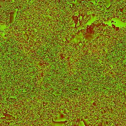
Any value below sea level I set to 0. Any value above sea level I converted using the following formula:
scaled = elevation * Math.floor[(256 * 256) / (8849 - 0)];
top_byte = scaled / 256;
bottom_byte = scaled % 256;
This provides accuracy to 1/7th of a meter compared to 1/10th of a meter with Mapbox but the tile size went from 104KB -> 25KB. For applications that can ignore elevations below sea level, this is a huge savings.
Edit: the top level tile has a lot of ocean so the size savings are better than average. On a tile with no water, the savings appear to be around 50%.
However I don’t know of any DEM tile apis that provide these sorts of PNGs but it sounds like a fun project!
Edit: I found this StackExchange post which shows how to generate 16-bit PNGs with gdal https://gis.stackexchange.com/questions/246934/translating-g...