Size on the map is calculated as the sum (property value).
If we chose Des Moines to arbitrarily be a county then its population density would be really high, but it would be an even smaller chunk on the map.
Sure, you might be able to get a reasonable approximation of that map from: population * population density per mile, but population density on its own is not going to get there.
PS: As to why I said mentioned the population of Iowa in the first place, XKCD was a map of population per area. If you scale the map based on population and ignore area then it's just a population map. http://www-personal.umich.edu/~mejn/election/2012/statepop10... Note the west coast is 1/2 the size of the east cost, and texas is about the size of california.
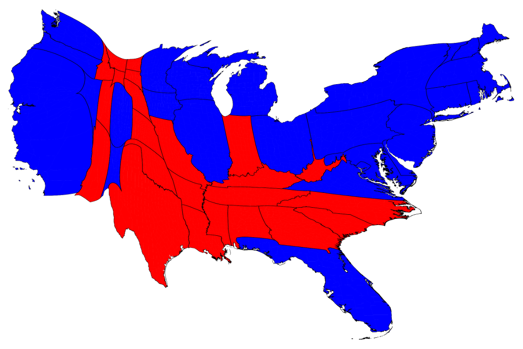
Des Moines is in Polk county with a density of 751/sq mi.
Anyways, I was just pointing out that your answer of "no b/c Iowa has 3 million people" has nothing to do with population density as the question posed.